正在加载图片...
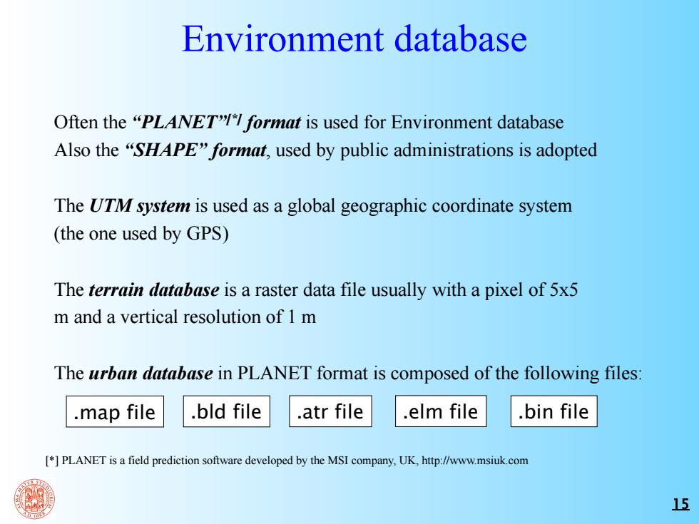
Environment database Often the "PLANET"format is used for Environment database Also the "SHAPE"format,used by public administrations is adopted The UTM system is used as a global geographic coordinate system (the one used by GPS) The terrain database is a raster data file usually with a pixel of 5x5 m and a vertical resolution of 1 m The urban database in PLANET format is composed of the following files: .map file .bld file .atr file .elm file .bin file []PLANET is a field prediction software developed by the MSI company,UK,http://www.msiuk.com 1515 Environment database Often the “PLANET”[*] format is used for Environment database Also the “SHAPE” format, used by public administrations is adopted The UTM system is used as a global geographic coordinate system (the one used by GPS) The terrain database is a raster data file usually with a pixel of 5x5 m and a vertical resolution of 1 m The urban database in PLANET format is composed of the following files: [*] PLANET is a field prediction software developed by the MSI company, UK, http://www.msiuk.com .map file .bld file .atr file .elm file .bin file