正在加载图片...

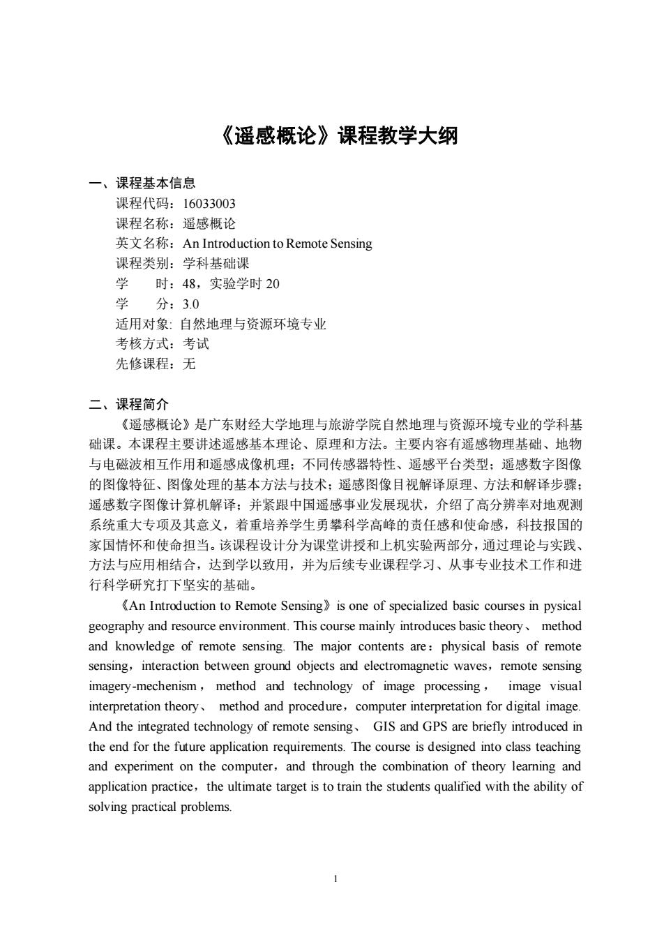
《遥感概论》课程教学大纲 一、课程基本信息 课程代码:16033003 课程名称:遥感概论 英文名称:An Introduction to Remote Sensing 课程类别:学科基础课 时:48,实验学时20 学 分:3.0 适用对象:自然地理与资源环境专业 考核方式:考试 先修课程:无 二、课程简介 《遥感概论》是广东财经大学地理与旅游学院自然地理与资源环境专业的学科基 础课。本课程主要讲述遥感基本理论、原理和方法。主要内容有遥感物理基础、地物 与电磁波相互作用和遥感成像机理:不同传感器特性、遥感平台类型:遥感数字图像 的图像特征、图像处理的基本方法与技术:遥感图像目视解译原理、方法和解译步骤: 遥感数字图像计算机解译:并紧跟中国遥感事业发展现状,介绍了高分辨率对地观测 系统重大专项及其意义,着重培养学生勇攀科学高峰的责任感和使命感,科技报国的 家国情怀和使命担当。该课程设计分为课堂讲授和上机实验两部分,通过理论与实践, 方法与应用相结合,达到学以致用,并为后续专业课程学习、从事专业技术工作和进 行科学研究打下坚实的基础。 An Introduction to Remote Sensing is one of specialized basic courses in pysical geography and resource environment.This course mainly introduces basic theory method and knowledge of remote sensing.The major contents are:physical basis of remote sensing,interaction between ground objects and electromagnetic waves,remote sensing imagery-mechenism,method and technology of image processing,image visual interpretation theory method and procedure,computer interpretation for digital image. And the integrated technology of remote sensing,GIS and GPS are briefly introduced in the end for the future application requirements.The course is designed into class teaching and experiment on the computer,and through the combination of theory learning and application practice,the ultimate target is to train the students qualified with the ability of solving practical problems.1 《遥感概论》课程教学大纲 一、课程基本信息 课程代码:16033003 课程名称:遥感概论 英文名称:An Introduction to Remote Sensing 课程类别:学科基础课 学 时:48,实验学时 20 学 分:3.0 适用对象: 自然地理与资源环境专业 考核方式:考试 先修课程:无 二、课程简介 《遥感概论》是广东财经大学地理与旅游学院自然地理与资源环境专业的学科基 础课。本课程主要讲述遥感基本理论、原理和方法。主要内容有遥感物理基础、地物 与电磁波相互作用和遥感成像机理;不同传感器特性、遥感平台类型;遥感数字图像 的图像特征、图像处理的基本方法与技术;遥感图像目视解译原理、方法和解译步骤; 遥感数字图像计算机解译;并紧跟中国遥感事业发展现状,介绍了高分辨率对地观测 系统重大专项及其意义,着重培养学生勇攀科学高峰的责任感和使命感,科技报国的 家国情怀和使命担当。该课程设计分为课堂讲授和上机实验两部分,通过理论与实践、 方法与应用相结合,达到学以致用,并为后续专业课程学习、从事专业技术工作和进 行科学研究打下坚实的基础。 《An Introduction to Remote Sensing》is one of specialized basic courses in pysical geography and resource environment. This course mainly introduces basic theory、 method and knowledge of remote sensing. The major contents are:physical basis of remote sensing,interaction between ground objects and electromagnetic waves,remote sensing imagery-mechenism , method and technology of image processing , image visual interpretation theory、 method and procedure,computer interpretation for digital image. And the integrated technology of remote sensing、 GIS and GPS are briefly introduced in the end for the future application requirements. The course is designed into class teaching and experiment on the computer,and through the combination of theory learning and application practice,the ultimate target is to train the students qualified with the ability of solving practical problems