正在加载图片...

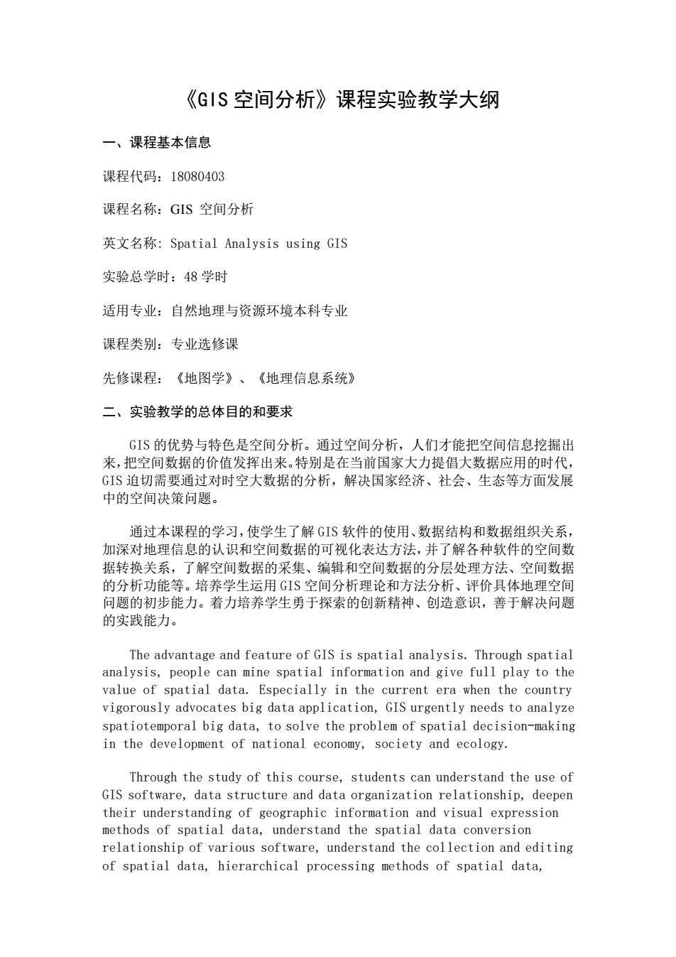
《GIS空间分析》课程实验教学大纲 一、课程基本信息 课程代码:18080403 课程名称:GIS空间分析 英文名称:Spatial Analysis using GIS 实验总学时:48学时 适用专业:自然地理与资源环境本科专业 课程类别:专业选修课 先修课程:《地图学》、《地理信息系统》 二、实验教学的总体目的和要求 G1S的优势与特色是空间分析。通过空间分析,人们才能把空间信息挖掘出 来,把空间数据的价值发挥出来,特别是在当前国家大力提倡大数据应用的时代, GIS迫切需要通过对时空大数据的分析,解决国家经济、社会、生态等方面发展 中的空间决策问题」 通过本课程的学习,使学生了解GIS软件的使用、数据结构和数据组织关系 加深对地理信息的认识和空间数据的可视化表达方法,并了解各种软件的空间数 据转换关系,了解空间数据的采集、编辑和空间数据的分层处理方法、空间数据 的分析功能等。培养学生运用GIS空间分析理论和方法分析、评价具体地理空间 问题的初步能力。着力培养学生勇于探索的创新精神、创造意识,善于解决问题 的实践能力。 The advantage and feature of GIS is spatial analysis.Through spatial analysis,people can mine spatial information and give full play to the value of spatial data.Especially in the current era when the country vigorously advocates big data application,GIS urgently needs to analyze spatiotemporal big data,to solve the problem of spatial decision-making in the development of national economy,society and ecology. Through the study of this course,students can understand the use of GIS software,data structure and data organization relationship,deepen their understanding of geographic information and visual expression methods of spatial data,understand the spatial data conversion relationship of various software,understand the collection and editing of spatial data,hierarchical processing methods of spatial data, 《GIS 空间分析》课程实验教学大纲 一、课程基本信息 课程代码:18080403 课程名称:GIS 空间分析 英文名称: Spatial Analysis using GIS 实验总学时:48 学时 适用专业:自然地理与资源环境本科专业 课程类别:专业选修课 先修课程:《地图学》、《地理信息系统》 二、实验教学的总体目的和要求 GIS 的优势与特色是空间分析。通过空间分析,人们才能把空间信息挖掘出 来,把空间数据的价值发挥出来。特别是在当前国家大力提倡大数据应用的时代, GIS 迫切需要通过对时空大数据的分析,解决国家经济、社会、生态等方面发展 中的空间决策问题。 通过本课程的学习,使学生了解 GIS 软件的使用、数据结构和数据组织关系, 加深对地理信息的认识和空间数据的可视化表达方法,并了解各种软件的空间数 据转换关系,了解空间数据的采集、编辑和空间数据的分层处理方法、空间数据 的分析功能等。培养学生运用 GIS 空间分析理论和方法分析、评价具体地理空间 问题的初步能力。着力培养学生勇于探索的创新精神、创造意识,善于解决问题 的实践能力。 The advantage and feature of GIS is spatial analysis. Through spatial analysis, people can mine spatial information and give full play to the value of spatial data. Especially in the current era when the country vigorously advocates big data application, GIS urgently needs to analyze spatiotemporal big data, to solve the problem of spatial decision-making in the development of national economy, society and ecology. Through the study of this course, students can understand the use of GIS software, data structure and data organization relationship, deepen their understanding of geographic information and visual expression methods of spatial data, understand the spatial data conversion relationship of various software, understand the collection and editing of spatial data, hierarchical processing methods of spatial data