正在加载图片...

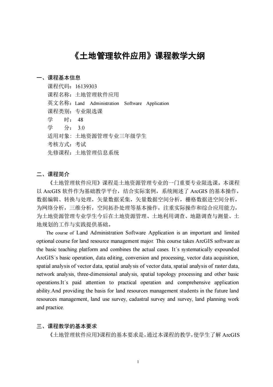
《土地管理软件应用》课程教学大纲 一、课程基本信息 课程代码:16139303 课程名称:土地管理软件应用 英文名称:Land Administration Software Application 课程类别:专业限选课 学时:48 分:3.0 适用对象:土地资源管理专业三年级学生 老核方式:考试 先修课程:土地管理信息系统 二、课程简介 《土地管理软件应用》课程是土地资源管理专业的一门重要专业限选课。本课程 以ArcGIS软件作为基础教学平台,结合实际案例,系统闸述了ArcGIS的基本操作, 数据编辑、转换与处理,矢量数据采集,矢量数据空间分析,栅格数据进空间分析, 为网络分析,三维分析,空间拓扑处理等基本操作,注重实际操作和综合应用能力, 为土地资源管理专业学生今后在土地资源管理、土地利用调查、地籍调查与测量、土 地规划的工作与实践提供基础。 The course of Land Administration Software Application is an important and limited optional course for land resource management major.This course takes ArGIS software as the basic teaching platform and combines the actual cases.It's systematically expounded ArcGIS's basic operation,data editing,conversion and processing,vector data acquisition. spatial analysis of vector data,spatial analysis of vector data,spatial analysis of raster data. network analysis.three-dimensional analysis.spatial topology processing and other basic operations.It's paid attention to practical operation and comprehensive application ability.And providing the basis for land resources management students in the future land resources management,land use survey,cadastral survey and survey,land planning work and practice. 三、课程教学的基本要求 《土地管理软件应用》课程的基本要求是,通过本课程的教学,使学生了解AcG1S1 《土地管理软件应用》课程教学大纲 一、课程基本信息 课程代码:16139303 课程名称:土地管理软件应用 英文名称:Land Administration Software Application 课程类别:专业限选课 学 时: 48 学 分: 3.0 适用对象: 土地资源管理专业三年级学生 考核方式:考试 先修课程:土地管理信息系统 二、课程简介 《土地管理软件应用》课程是土地资源管理专业的一门重要专业限选课。本课程 以 ArcGIS 软件作为基础教学平台,结合实际案例,系统阐述了 ArcGIS 的基本操作, 数据编辑、转换与处理,矢量数据采集,矢量数据空间分析,栅格数据进空间分析, 为网络分析,三维分析,空间拓扑处理等基本操作,注重实际操作和综合应用能力, 为土地资源管理专业学生今后在土地资源管理、土地利用调查、地籍调查与测量、土 地规划的工作与实践提供基础。 The course of Land Administration Software Application is an important and limited optional course for land resource management major. This course takes ArcGIS software as the basic teaching platform and combines the actual cases. Itˊs systematically expounded ArcGISˊs basic operation, data editing, conversion and processing, vector data acquisition, spatial analysis of vector data, spatial analysis of vector data, spatial analysis of raster data, network analysis, three-dimensional analysis, spatial topology processing and other basic operations.Itˊs paid attention to practical operation and comprehensive application ability.And providing the basis for land resources management students in the future land resources management, land use survey, cadastral survey and survey, land planning work and practice. 三、课程教学的基本要求 《土地管理软件应用》课程的基本要求是,通过本课程的教学,使学生了解 ArcGIS