
CHAPTER X The engineering geology of the TABARAK ABAD Dam
CHAPTER X : The engineering geology of the TABARAK ABAD Dam
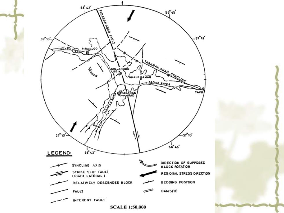
New words and phrases crest length最大长度 storage capacity储存量 syncline axis向斜轴 strike slip fault(right lateral)右行走向平移断层 descended block下降盘 inferent fault推测断层 regional stress地应力 bedding position基岩位置 seismic region地震地区 rugged mountainous terrain崎岖的山脉地带 slopes边坡 abutment桥墩 displacement变形
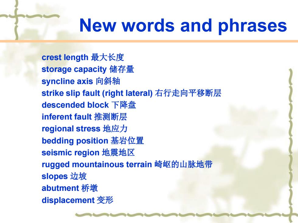
New words and phrases crest length 最大长度 storage capacity 储存量 syncline axis 向斜轴 strike slip fault (right lateral) 右行走向平移断层 descended block 下降盘 inferent fault 推测断层 regional stress 地应力 bedding position 基岩位置 seismic region 地震地区 rugged mountainous terrain 崎岖的山脉地带 slopes 边坡 abutment 桥墩 displacement 变形
New words and phrases Quaternary deposits第四纪沉积物 related joint伴生节理 tensile and shear joint张节理和剪节理 permeability渗透性 alluvial冲积的 diluvial洪积的 rounded磨圆的 silt粉土 subrounded似圆的 angular有棱角的 carbonate rock碳酸盐 foothills丘陵
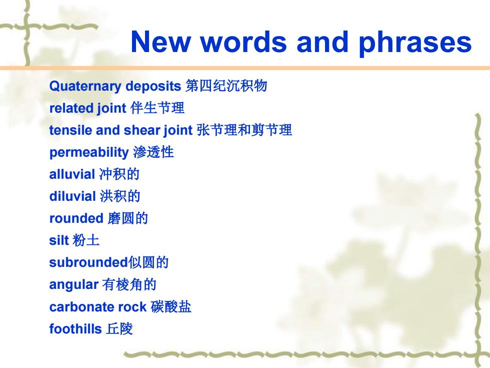
New words and phrases Quaternary deposits 第四纪沉积物 related joint 伴生节理 tensile and shear joint 张节理和剪节理 permeability 渗透性 alluvial 冲积的 diluvial 洪积的 rounded 磨圆的 silt 粉土 subrounded似圆的 angular 有棱角的 carbonate rock 碳酸盐 foothills 丘陵
New words and phrases gravel沙砾 limestone石灰岩 sandstone砂岩 exposed出露 downstream下游 exposure露头 overlaid上覆 Site investigation地质勘查 boreholes钻孔 impervious隔水的 Rock mass岩体
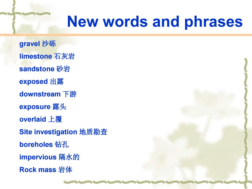
New words and phrases gravel 沙砾 limestone 石灰岩 sandstone 砂岩 exposed 出露 downstream 下游 exposure 露头 overlaid 上覆 Site investigation 地质勘查 boreholes 钻孔 impervious 隔水的 Rock mass 岩体
New words and phrases excavation depth开凿深度 Rock Quality Designation{RQD}岩体质量指标 Rock Mass Rating(RMR)岩体综合特征值 seepage渗流 uniaxial compressive strength tests单轴抗压试验 saturation conditions饱和状态 shale页岩 water content含水量 Cretaceous白垩系的 unconfined compressive strengths无侧限抗压强度 samples试样
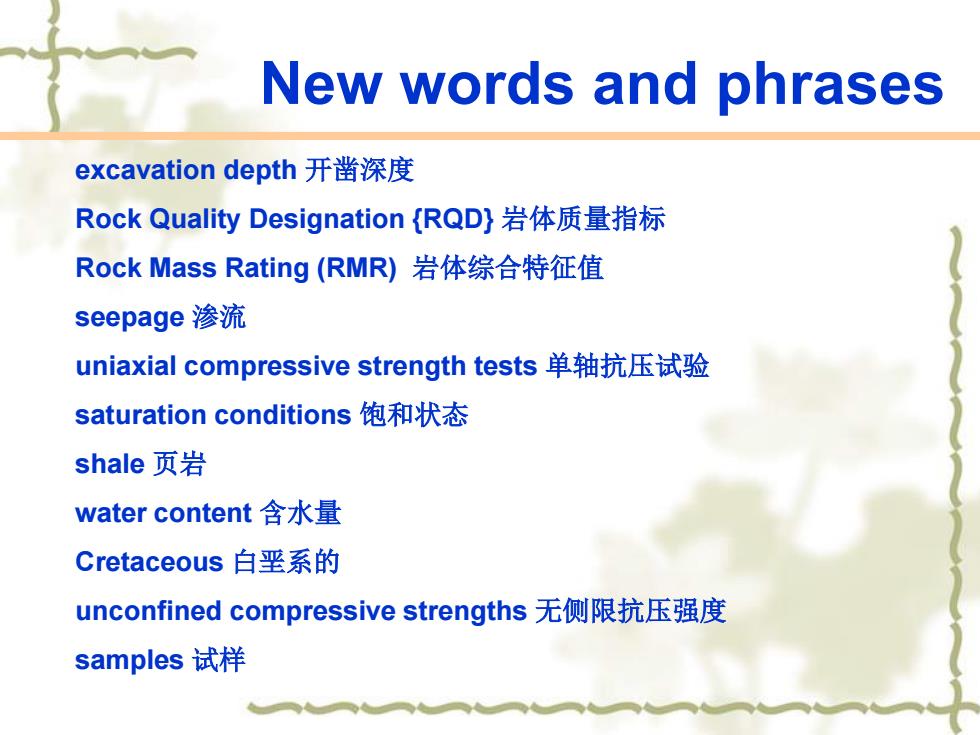
New words and phrases excavation depth 开凿深度 Rock Quality Designation {RQD} 岩体质量指标 Rock Mass Rating (RMR) 岩体综合特征值 seepage 渗流 uniaxial compressive strength tests 单轴抗压试验 saturation conditions 饱和状态 shale 页岩 water content 含水量 Cretaceous 白垩系的 unconfined compressive strengths 无侧限抗压强度 samples 试样
New words and phrases 1.Why do geological factors play a major role in designing and constructing a dam? 2.What are the main geological structures of the dam and reservoir areas are presented? 3.Please describe the Quaternary deposits in your own words. 4.What have been done in the investigation into the dam site? 5.Why do we attempt to classify rock mass quality accurately? 6.Which factors affect the unconfined compressive strengths measured in unconfined compressive strengths?
New words and phrases 1. Why do geological factors play a major role in designing and constructing a dam? 2. What are the main geological structures of the dam and reservoir areas are presented? 3. Please describe the Quaternary deposits in your own words. 4. What have been done in the investigation into the dam site? 5. Why do we attempt to classify rock mass quality accurately? 6. Which factors affect the unconfined compressive strengths measured in unconfined compressive strengths?
1,Introduction The Tabarak Abad Dam has a crest length of 186 m,a maximum height above river bed level of 50 m,and a total storage capacity of 60 million m3. The purpose of the dam construction is to provide drinking water for Quchan city about 25 km southeast of dam site and the villages between the dam and the same city.Furthermore,this dam will irrigate an 1150 ha area through a canal system,which is in progress. The irrigation field is situated north of Quchan city
1. Introduction The Tabarak Abad Dam has a crest length of 186 m, a maximum height above river bed level of 50 m, and a total storage capacity of 60 million m3 . The purpose of the dam construction is to provide drinking water for Quchan city about 25 km southeast of dam site and the villages between the dam and the same city. Furthermore, this dam will irrigate an 1150 ha area through a canal system, which is in progress. The irrigation field is situated north of Quchan city
58°45 ABAD 37°13 FAULT 3713 ABAD SYNCLINE TAVIL 37°10 LEGEND: 5042 OIRECTION OF SUPPOSED SYNCLINE AXIS BLOCK ROTATION STRIKE SLIP FAULT (RIGHT LATERAL) REGIONAL STRESS DRECTION RELATIVELY DESCENDED BLOCK BEDDING POSITION FAULT DAMSITE INFERENT FAULT SCALE1:50,000
2.The geology of the studied area Geological factors play a major role in designing and constructing a dam.Of the various natural factors that influence the design of dams,none are more important than the geological ones.Not only do they control the character of formations,but they also govern the material available for construction.There exist numerous examples of projects where the conditions of the foundation were not sufficiently known and the cost of construction and treatment greatly exceeded the original budget (lchikawa, 1999)
2. The geology of the studied area Geological factors play a major role in designing and constructing a dam. Of the various natural factors that influence the design of dams, none are more important than the geological ones. Not only do they control the character of formations, but they also govern the material available for construction. There exist numerous examples of projects where the conditions of the foundation were not sufficiently known and the cost of construction and treatment greatly exceeded the original budget (Ichikawa, 1999)
Hydraulic conductivity Information on the regional geology of the area has been given by Afshar-Harb(1984)and Mohab Ghods Engineering Company(1997).The dam and reservoir sites are located in an active seismic region of rugged mountainous terrain with steep slopes.The valley walls at the dam site are steep,with slopes of 65-70°in left abutment and45-55°in the right abutment
Information on the regional geology of the area has been given by Afshar-Harb (1984) and Mohab Ghods Engineering Company (1997). The dam and reservoir sites are located in an active seismic region of rugged mountainous terrain with steep slopes. The valley walls at the dam site are steep, with slopes of 65–70°in left abutment and 45–55°in the right abutment. Hydraulic conductivity